
01
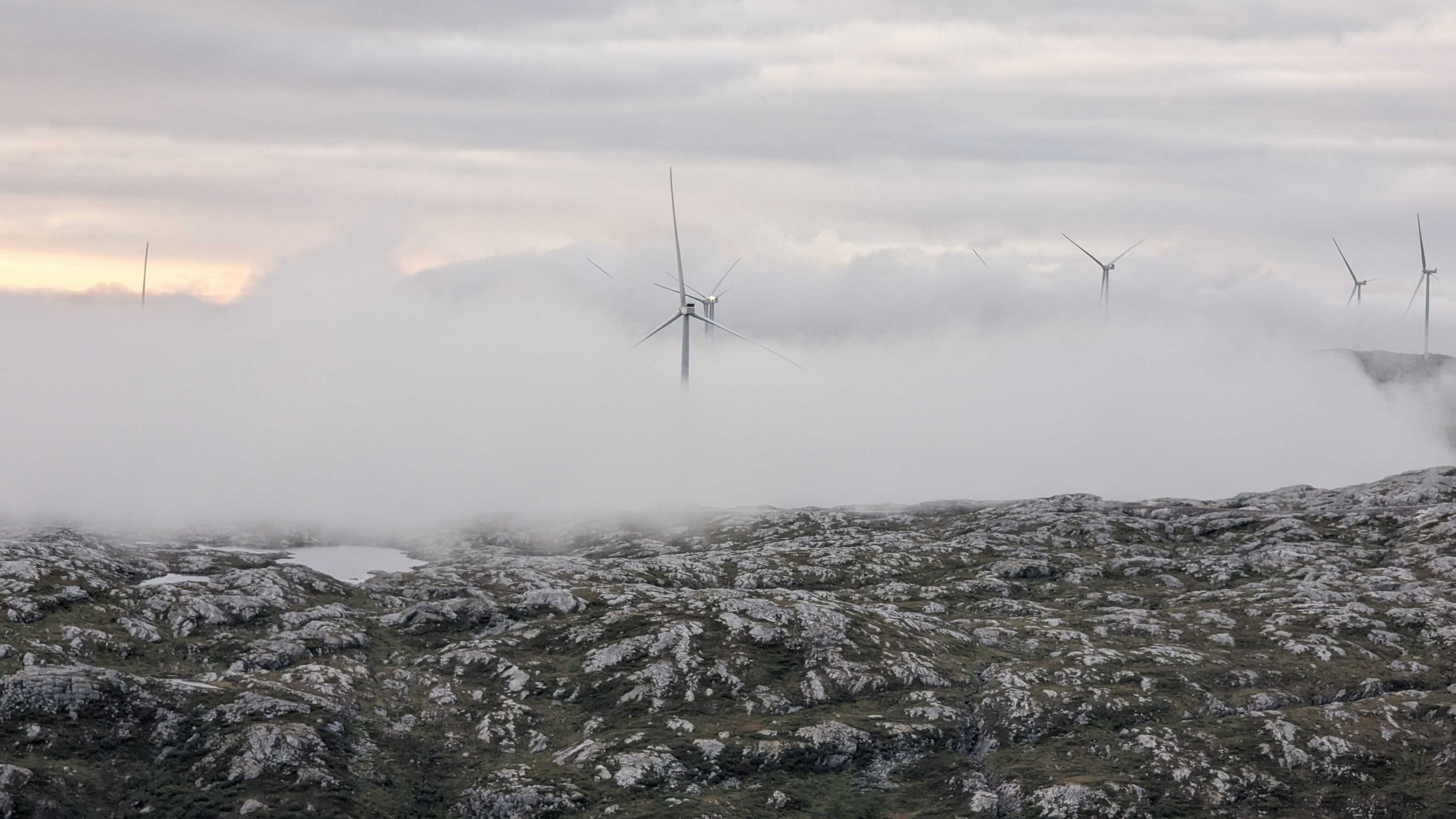
Aerial Surveying

Capture accurate aerial data across land and sea with our expertise, aircraft fleet and modern sensors. Explore user-friendly insights on 3D models and maps.
Land Surveying

Plan, build, and maintain buildings, roads, railways, and other infrastructure with precision and confidence. Track and monitor accuracy from project start to finish.
Mapping & Modelling

From corridor mapping to digital twin solutions, unlock complex geospatial data with accurate 3D maps and models. Plan, build, and maintain assets with confidence and ease.
Mobile Mapping & Geophysics

Capture and analyze detailed 360-degree information about road conditions, utilities, groundwater, bedrock, and more. Explore insights on interactive software.
Interactive Software

Understand what matters with user-friendly geospatial software featuring orthophotos, oblique images, 360 panoramas, and 3D point cloud for mapping and analysis.
Land & Property Consultancy

Manage and develop land and property in Norway. Acquire properties and property rights, manage building applications and subdivisions, and more.

02
About
Geospatial solutions powered by software, sensors, and AI technologies
Field is a geospatial technology company with 250 employees in five countries. We are on a mission to deliver the insights organizations need to make better decisions and plan, build and manage safe and efficient natural and built environments — from preserving marine habitats to keeping roads safe and operational.
03
Case studies
Solving complex problems across all industries
Buildings & properties
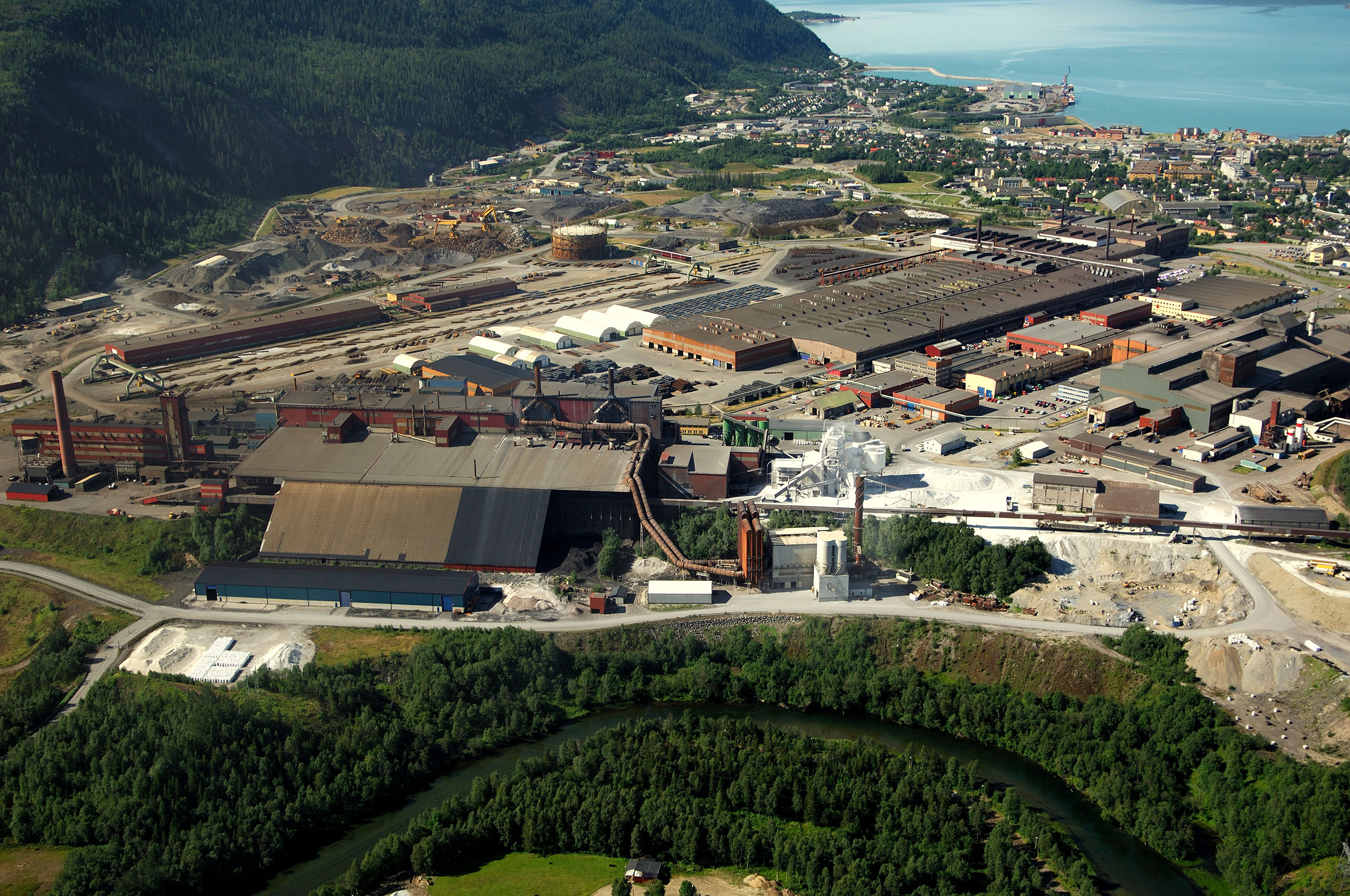
A digital twin of one of Norway's largest industrial estates
-Mo Industripark

Buildings & properties
A digital twin of one of Norway's largest industrial estates
-Mo Industripark
Geospatial solutions powered by software, sensors, and AI technologies
Join us and help capture and transform accurate geospatial data into valuable insights and digital twins.